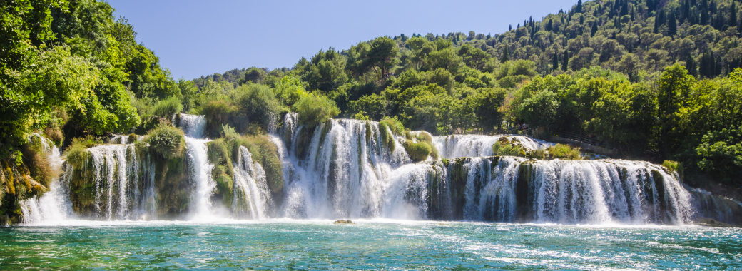
The Krka river is the most beautiful and the most extraordinary river in this part of the Croatian coast. The Krka river is 73 km long. The river flows through less settled krastic country, it pierces it way through many narrow passages in limestone and it has created many lakes, cascades, caverns and waterfalls on its way. The river is watery, besides many tributaries, it also has underground sources. 8 km after Visovac, there are the last but the most beautiful waterfalls on the river, so called Skradinski buk falls. They fall from 17 terraces, they are really massive especially in summer – it is still a remarkable view. They belong to the most beautiful krastic waterfalls in Europe.
The part of the Krka from Knin to Skradin was proclaimed a national park in 1985 (110 km2). There are 5 official entrances for Krka National Park. The nature of Krka National Park is very rich and diverse and that is so, because of the influence of the Adriatic Sea which also influences weather in the area. On the territory of the KRKA park, there are 220 species and subspecies of plants registered, most of which are endemic species of the Adriatic region. To the scientists – ornithologists, The Krka riverside is a very valuable location.
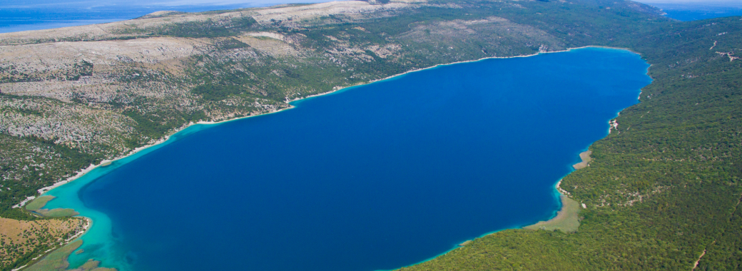
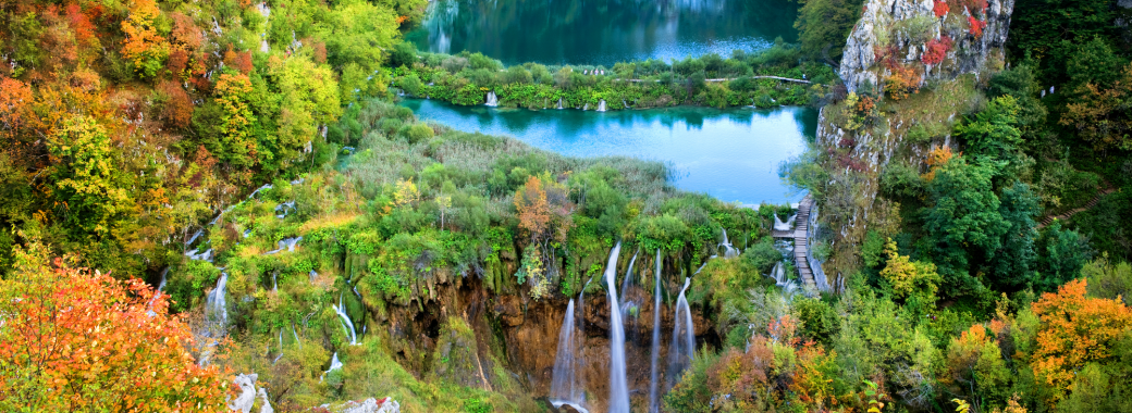
Plitvice Lakes and the surroundings belong to the most beautiful natural creations in Europe. In 1932, the area was declared a protected area. In 1949, it was proclaimed a national park and in 1979 Plitvice Lakes National Park was added to the UNESCO World Heritage register. This area includes a breathtaking jewel stretching along nearly 8 kilometers and it is formed by sixteen terraced lakes located at different altitudes. Prošćansko jezero is the highest lake, this lake is fed by the Matica river. The lakes are separated from each other by travertine barriers. The waters continue to flow downward from lakes into barriers into the next lake it also creates a chain of waterfalls. The Plitvice Lakes national park is heavily forested and its rich vegetation reflects in the lakes of unbelievable colours ranging from azure to green, grey or blue.
The 16 lakes are grouped into the 12 Upper Lakes which end in the biggest lake named Kozjak. From here the water is spilling over into the Lower Lakes – a set of four smaller and shallower lakes which lie in a beautiful canyon of steep rocks. At the end of the Lower Lakes, there is one of the most gorgeous passage where the Plitvica river joins the lakes in the largest waterfall (72m). The forest covers 157 km2 , meadows 35 km2 and approximately 2,2 km2 of area are lakes and waterfalls.
The lakes are connected with waterfalls but also with subflows and caves of which 12 are accessible.
An interesting part of Plitvice Lakes are barriers among the lakes. The barriers are the result of an interplay between water, air and plants and tufa-limestone creations which have developed in the last 4000 years. They grow at the rate of about 3 cm per year but they can also break easily.
Fallen tree trunks in the water look like sleeping crocodiles. The limestone sediment and a reflexion of the sun are a cause of strange blue and green colouring of Plitvice Lakes.
The forests play very important role in preserving of this unique natural phenomenon. They cover almost 3 quarters of the park. They are an important reservoir of water and they also take care of its even supply. The National Park offers its space not only for different spieces of fish but also for endangered spieces such as: otters, brown bears, wolves and wild cats. Other animals sucha s foxes, does, deers, boars and badgers live in the forsets.
Swimming and boat rides are only allowed in some places. In the summer months, the water temperature of the Upper Lakes is 24°C. Koziak, Ciginovac and Prošćansko jezero are the real paradise for fishermen but the permission is required. It can be issued by the Management of the National Park
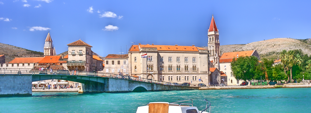
Trogir is not only one of the oldest towns on the Adriatic coast but it belongs to the oldest towns in the Mediterranean. The sacrificial altar of the Greek godess Hera was found under the tower of the the Cathedral of Trogir which might mean that there was once, on the site of today's cathedral, a shrine from at least the Greek and Roman period. The Roman Tragurium comes form the first century B.C. and it was probably a part of a greater colony. Trogig was well-known at that time for its golden marble which was used for buildings in Salon for decorative purposes and later, it was used for a representative part of the ancient Diocletian's Palace. After the WW II, Trogir was developing in the spirit of social industialization. There is Split airport and a lot of tourist and residential buildings on the land but also on the island of Čiovo. Since 1997, the historic centre of Trogir has been included in the UNESCO list of World Heritage Sites
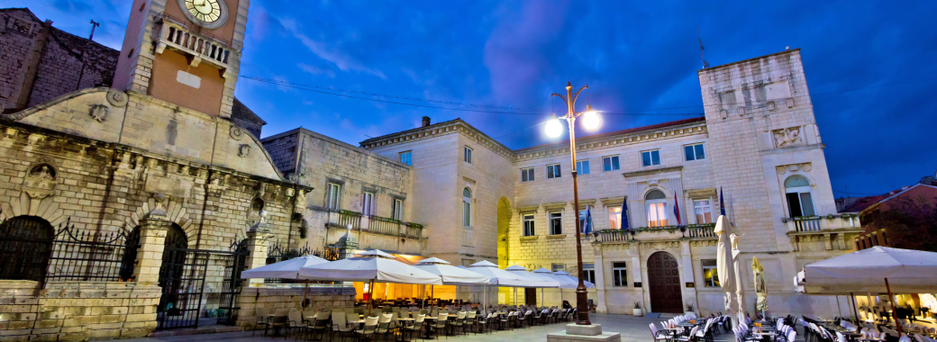
Zadar is a center of economy, culture, education and tourism. It is the 5th biggest city and very important city in Croatia. Most of the city´s cultural and historical sights can be found in the historical center on the peninsula. The central location of these sights is the square called Fóra from the Romans time. The Church of St. Donatus belongs to the Early Middle Ages period and it is undoubtfully the most famous sight and symbol of Zadar. It is the building where antic fragments are hidden in every corner. The Cathedral of St. Anastasia was constructed in the Romanesque style and it is the largest church in all of Dalmatia.
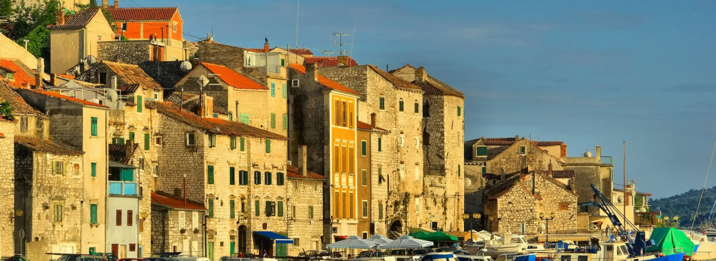
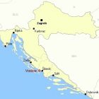
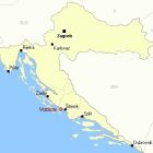
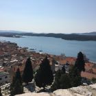
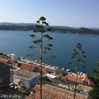
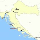
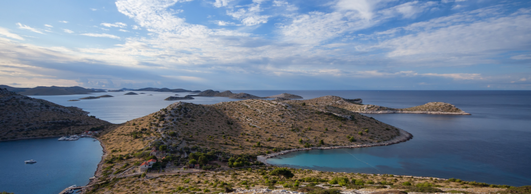
Šibenik is a historic city , which lies near the mouth of the river Krka. The flooded mouth of the river forms a big bay connected with sv. Ante Channel. After the WW I, there was a development of industry in the area. During the WW II, Šibenik was almost destroyed. The City Hall was completely destroyed too which was the biggest loss of a historical value in Croatia. Roughly 18 kilometres north of the city is the Krka National Park and The Kornati archipelago west of Šibenik. St. Anne's Fortress dominates the city.
It is built 70 m above the sea level, on the top of the hill where the historical center of Šibenik is located. Another important sight is St. Nicholas Fortress which was designed by Michel Sanmicheli.
The fortress is in the shape of a triangle. The historical center of Šibenik is Square of the Republic of Croatia. Nearby the square, there are the most important objects of Šibenik: the Cathedral, City Hall, City loggia, the Bishops Palac. The Cathedral of St. James is the most important monument and symbol of the city. The Cathedral has been on the UNESCO World Heritage List since 2000
